The madriu-perafita-claror VALLEY: WORLD HERITAGE SITE
The Madriu-Perafita-Claror Valley was declared World Heritage by UNESCO in 2004 thanks to the value of its landscape. The preservation of a large valley in its entirety is an unusual event and this is the only case that is found in the Pyrenees.
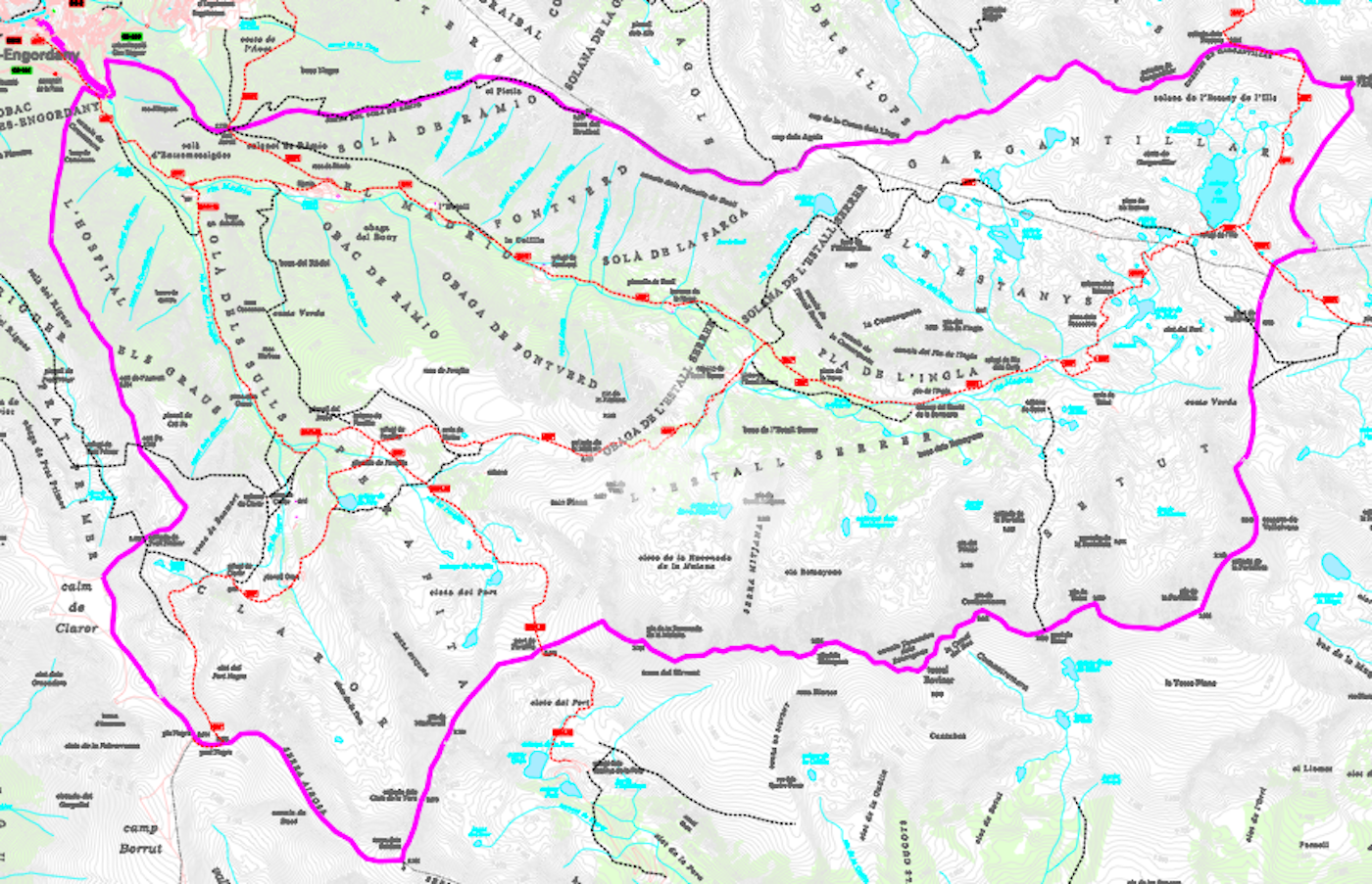
It is in the south-east of Andorra and covers a surface area of 4,247 hectares. It coincides with the basin of the River Madriu, which represents about 10% of the surface area of Andorra, and is distributed between the parishes of Encamp, Andorra la Vella, Sant Julià de Lòria and Escaldes-Engordany.
A peripheral protection area of 4,092 hectares has been defined around this open space. The sum of the surface areas of the central zone plus the peripheral zone occupy almost a fifth part of the Andorran territory.
Approximately 99% of the surface area of the Madriu-Perafita-Claror Valley is communal property. The remaining 1% belongs to some thirty private owners and covers little more than 42 hectares of land at the bottom of the valley, in the parish of Escaldes-Engordany.
Highest point: 2.905m, Portelleta peakLowest point: 1,056m, Pont de la Tosca
12 km long
Orientation East-West
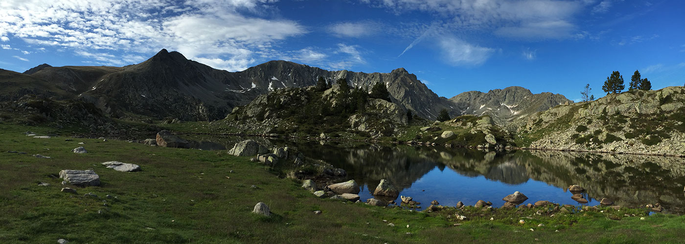
Visitors to the valley will enjoy during their visit a large number of peaks, more than thirty lakes, highlighting the second largest lake in the country, the Illa lake, or the presence of 70% of the fauna species listed in Andorra and 40% of the country’s habitats. These are just some of the natural attractions that add to the valley’s cultural heritage that UNESCO recognized as exceptional …


